
This is a great walk along a track to the very southern most point of Skye. The route passes a fantastic white sand beach which is worth stopping at for a spot of lunch or even a swim.
Continuing on to the point where there is a modern lighthouse and some fantastic views out to the small isles of Rum, Canna and Eigg.

The walk uses the same path there and back, leaving from the carpark at the very end of the public single track road. The walk covers a distance of 8.9km, with the average time to complete the walk being 3 hours 20 minutes (with no stops).
We have classed this walk as ‘Long’ in length and ‘Average’ for difficulty, check the rating guide for details.
Location
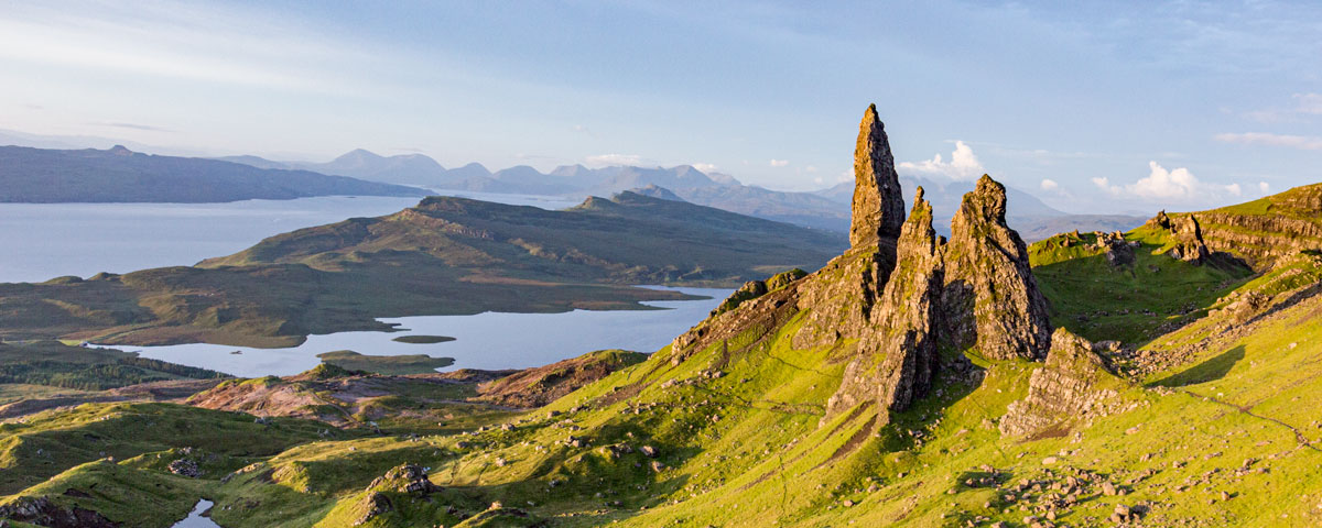
The walk is to the most southerly point on Skye, this is on the Sleat peninsula. The walk starts from the carpark at the very end of a single track road south from Armadale.
Weather
This walk can be completed in most weather conditions, but best enjoyed on a clear day allowing views of the small Isles.
Tide
If you wish to stop at the sandy beach, then choosing a time when the tide is further out will expose more of the white sand. On very high tides there will be no sand at all. Tide times can be found on the Easy Tide Prediction website.
Parking
The car park is located at the very end of a single track road, 4.3miles from Armadale, a 10 minute drive. If traveling from Portree it is 45miles and will take about 1 hour to drive.
The carpark is an extended farmyard, don’t block the access to the gates as they are used regularly.
The Walk
This walk is a longer one and is rather hard work as the path raises and drops repeatedly, but the end views and the beautiful beach make to so worth the effort.
Make sure your look through the Walk SlideShow, as it give a step by step account of what you will encounter.
Stage 1
At the end of the carpark the is a large metal farm gate, left of this there is a smaller wooded gate allowing access.
Ahead the track is actually a private road giving access to the private houses by the point, you may see 4X4 vehicles driving past as you walk.
For the first section of the walk simple follow the rough road as it regularly drops and raises over the Heather moor.
Looking back offers some great views of the Aird crofting township, then out over the sea to the mainland town of Mallaig.
Continue along the track, it will rise up the hill eventually summiting to reveal the first view down to one of the smaller beaches.
Stage 2
Head downhill following the road, after a good distance you will reach a wire fence with a metal gate. Pass through the gate and stay with the track as it drops downhill.
After a good while you will reach a wooden bridge were the track splits, both option head the same direction. After the bridge keep a look out for a Green Sign pointing off the road up a hill to the left hand side.
Stage 3
Follow the direction that the sign points, immediately this track becomes steep, narrow and rough under foot.
As the trail continues up the bank you will see a wire fence. Follow this rough rocky track keeping the wire fence on your right hand side.
Pausing to look down over the fence in to Glen there are various houses, some new with full time residents. A very isolated location (especially in the winter when it snows).
This rough track by the fence is muddy and rocky in places yet clear in direction. The track drops downhill after a short while and passes through a valley heading for the shore.
With the shore in sight you will reach a Marker Post, ahead is the sandy beach, to the right the path continues to the Point of Sleat.
The Beach
To reach the beach follow the grass path to the shore ahead, maybe 150m for the marker post. The beach is called ‘Camas Daraich’. When the tide is out white sand is revelled and on a sunny day makes a great spot for a swim. For the less brave the beach makes a perfect spot to stop for lunch.
If continuing to the Lighthouse head back to the Marker Post when ready.
Stage 4
By the Marker Post the path climbs up a bank, remaining rough under foot. The path traverses the hill side below on the left is the beach, on the right side the hillside raises up.
As the path passed above the Sandy Beach the view is worth getting you camera out. On a bright day the water looks tropical blue like the Caribbean!
As the trail carries on over the hill top the path is muddy in places. From the highest part of the hillside you will get your first views of the actual point with the lighthouse. Follow the path down the hill. There is a steeper rocky section as you head down.
Stage 5
The trail reaches a small gorge. The path leads to some old concrete steps that lead down to the bottom of the gorge. The steps are well worn, so take care.
The floor of the gorge is grass and wet in places. There are stepping stones the lead of to the right, follow on.
After crossing a muddy section the path meets the rock shoreline and turns left around a rocky headland.
The path now is a little vague as is crossed more rocks, but follow the shoreline. You with reach a grassy bank, the path is there but not as obvious as it has been.
From the top to the grass bank you will see a smaller sandy beach and a concrete landing point for boats.
At the top of this grassy bank the path becomes clear again as it head up hill off the shore.
The track now a grass path slowly raises up with Bracken each side of the track (summer only).
The Lighthouse comes into sight just follow the path.
Lighthouse
This is a modern lighthouse, unmanned and completely automatic. It was even build elsewhere and helicoptered into position. Not the most elegant of structures, but does the job.
The real reason for the walk are the views out to sea, you can see the small isles of Rum, Canna and Eigg.
Stage 6
The return is the same route back.