
A longer walk to the beautiful Camasunary bay. This route gives a taste of walking in the Cuillin Mountains without really having to climb a mountain or get out a map.
Walking by the foot of these famous hills offers some fantastic views, so bring your camera. A safe taste of walking the Cuillin Hills.

The walk to Camasunary uses the same route there and back. It covers a distance of 9.2km, with the average time to complete the walk being 2 hours 30 minutes (with no stops).
We have classed this walk as ‘Long’ in length and ‘Average’ for difficulty, check the rating guide for details.
Location
The nearest village to Camasunary is Elgol on the south of Skye, the start of the walk is on the road to Elgol. The bay neighbours the more famous Loch Coruisk, which can be accessed from the Camasunary side but is not recommend for the average walkers as involves crossing the ‘Bad Step’.
Weather
This walk is suitable in most weather conditions. At the beach there is a bothy (open house) that can be accessed for shelter on a wet day.
Parking
The carpark is a large layby located by the single track the leads to Elgol from Broadford. 11.3miles (20 minute drive) from Broadford or 3.2miles from Elgol. If traveling from Portree it is 36miles and will take about 50 minutes to drive.
The Walk
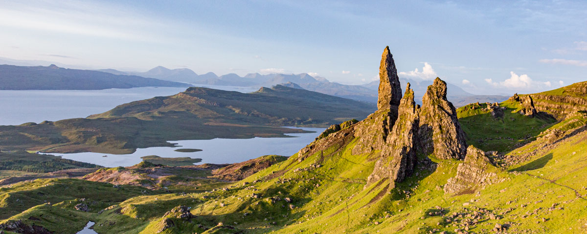
This is a longer walk along an increasingly loose gravel track. On a clear day the views inland include the Cuillins of Bla Bhainn & Marsco or look out to sea for views of the islands of Soay & Rum.
Make sure your look through the Walk SlideShow, as it give a step by step account of what you will encounter.
Stage 1
From the carpark cross the road to a gateway, there will be a Green Sign confirming the route.
The metal farm gate has a wooden kissing gate on the left hand side. Pass through the gate and on up the track.
The path is gravel with regular puddles. The path raises and drops as you pass over this first section.
Down on our right hand side in the distance you will see a small fresh water loch which has been dammed. The water is used for an indoor farm fish is the nearby steading.
Continue up the path. There are small streams crossing the path all with stepping stones. After 20-30 minutes of walking up the track you will reach the first gate.
Stage 2
The metal gate has another wooden kissing gate on the right side. Head through the gate.
The track immediately becomes narrower and rougher under foot. Amazingly four by four vehicles do drive up here.
Continue up the path which is now steep with very loose rocky gravel to walk on.
After the climb you will see a ‘cairn’ (a pile of rocks), from now on the path levels out a little as you work your way along the hill top moor. The path rises slowly, revealing more and more of the view of the Cuillins in the distance.
As you reach the summit at 140m the path will turn right.
Stage 3
Following the path along the moor top, more of the view is revealed. Your first glimpse of the Camasunary Beach and the Bothy will come into sight as you look down to your left from the path.
The path starts to drop down traversing the hillside. Ahead are views of the Red Cuillins including Bla Bhainn & Marsco and of the more jagged Black Cuillins including Sgurr na Gillean.
As you follow the path down you will also see a fresh water loch called Loch Na Creitheach.
Looking ahead the remaining track is clear is see.
Following down, after a good stretch the path makes a 180 degree turn as you zig zag down. It is possible to cut the corner of the ‘zig zag’ but it is very rough and not any quicker.
Carry on down the path.
Stage 4
As the path levels out you will reach a larger bridge made from old metal road barriers. Cross and follow the path now beside a river.
Ahead you will see 2 houses the closest and largest and is privately owned, a lovely spot!
In the distance and nearest the beach is the Bothy.
Now on the flat it is time to leave the main path, the remaining route is grassy and a bit vague in places but the destination is in sight and clear. Head for the corner of an old stone wall, to then walk along the shoreline heading for the Bothy.
The Bothy
On arriving at the Bothy you are welcome to go inside for shelter on a wet day. This ‘Bothy’ is free you use and owned by the Mountain Bothies Association. This charity with the help from volunteers own and maintain many of these mountain shelters located all over the UK.
If you wish you can spend the night, there is no booking system, just turn up and muck in with other walkers. A great way to meet other interesting people.
Inside this bothy it is basic yet pleasant enough, with 2 open fire places to help dry out your kit.
The Beach
Camasunary Beach is gravel with a little sand, a lovely beach, ideal for a paddle on a warmer day. If you find any drift wood, carry it up to the bothy as they are always short of wood for the fire place.
Stage 5
The return walk is exactly the same route and takes about the same time complete, about an hour and 15 minutes for the average walker.