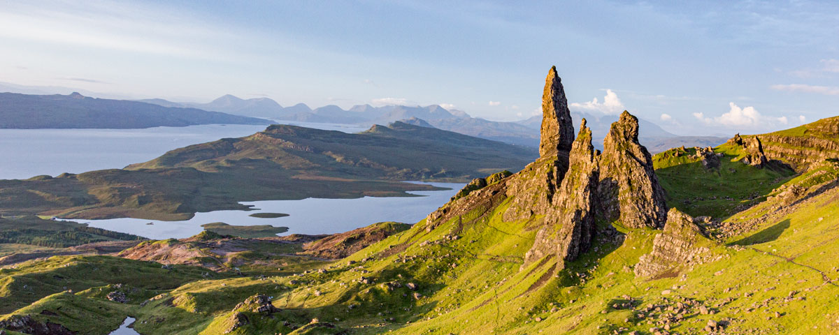
This is a longer walk to the cleared village of Boreraig, interesting for those that would like to know more about the history of Skye.
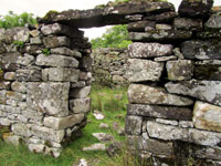
This village was cleared of its people to make way for sheep in the 1850’s, the village is now a mix of ruined stone houses by the shore of Loch Eishort.
The walk Starts at the ruined church of Kilchrist (Cill Chriosd) on the road from Broadford to Elgol. The first section of the walk passes the industrial remains of an old railway platform and marble quarry, then over the hillside to Boreraig. It covers a distance of 10km for the round trip and takes an average of 1 hour 30 minutes each way (3 hours of walking).
We have classed this walk as ‘Long’ in length and ‘Easy’ for difficulty, check the rating guide for details.
Location
Borreraig is situated in the south of Skye in a remote spot, the nearest main village is Broadford. If driving from Portree it is 27.5miles and takes about 30 minutes to get to the walk carpark.
Weather
This walk is suitable for most weather conditions.
Parking
The carpark is located by the old church of Kilchrist, the church is 2.5miles along the single track road from Broadford heading to Elgol. There is not an official carpark it’s more of an extra-long passing place (layby).
The Walk
The track passes though crofting land where sheep will be grazing. Dogs should be kept on a lead when livestock are present.
Make sure your look through the Walk SlideShow, as it give a step by step account of what you will encounter.
Stage 1
From the Church walk back along the public road in the Broadford direction, across the castle grid then take the first right turn off the public road. A distance of 240m from the church to the turn off.
Walk up the road and you will see some brickwork ruins, this is the old railway station for the Marble Quarry.
Pass the Station and follow a grass path up and across the field where it joins the main gravel path. Turn Right.
The gravel path is well maintained, the track runs where the railway line used to be. It continues on a long slow uphill line.
After a while you will start to see piles of grey rock chipping, this is the start of the Marble Quarry.
You will come to a metal gate and a wooden sign (Boreraig 3.5Km).
Stage 2
Pass through the gate and follow the path up the hill. The path becomes slightly rougher under foot.
After a long strait section you will see more evidence of the old Marble Quarry including the remains of the ‘Turn Table’ for turning the train around.
The path becomes grassy in places, but clear in direction. Pass the piles of grey marble and up the hill. As the path climbs up the hill away from the quarry, it is not as wide and the gravel is more brown in colour.
The trail levels out, then winds its way along the hill top moor.
After a good while you will come to a wire fence with a metal gate. There is a stile to cross.
Stage 3
After the gate the footpath continues on over the moor. If you look to your left you will see a small loch (Loch Lonachan).
The path get narrower & can be wet & muddy in places, but remains simple to follow.
As you continue to walk, the left hand side will start to drop away and become a valley with a small river at the bottom.
The path starts to rise up; as you reach the summit you will get the first views down to the sea and the grassy slopes of Boreraig.
Stage 4
The now narrow path starts to drop down.
You will reach another wire fence with a metal gate and stile. Cross and follow the track down the hill.
After a short distance of rougher path you will reach a small grass covered wall. This wall marks the boundary of Boreraig. Follow the path further down to see the first house.
The Village
The ruined village is a mix of different sized houses, some in better condition than others.
Explore each, careful not to knock any of the stones from the house walls.
Near the sea there is a small rock slab being used to bridge the stream.
On the left hand side of the village as you look out to sea there is a waterfall dropping down onto the shore. This creates a pool at the bottom, ideal for a dip on a warm day.
As you look out to sea, you can see the community of Ord (on the Sleat peninsula) on the other side of the sea loch.
Stage 5
The return journey. The same route back it will take about the same time to walk.

